Atlas Antiquus by Emil Reich: in Forty-Eight Original Graphic Maps, with Elaborate Text to Each Map, and Full Index by Emil Reich
$125.00
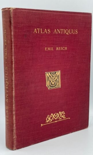
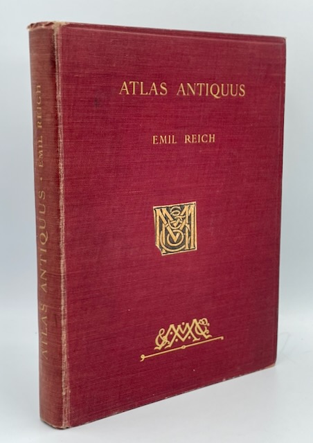
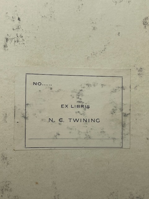
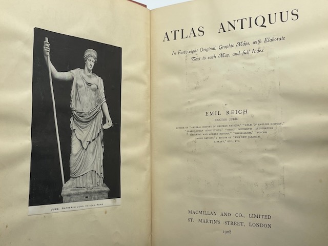
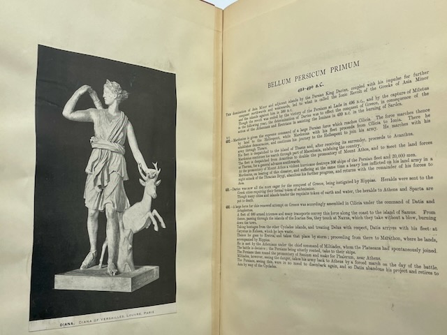
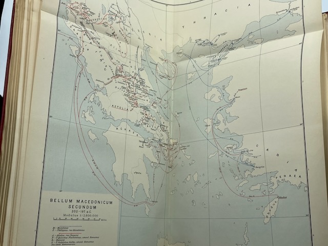
Atlas Antiquus by Emil Reich: in Forty-Eight Original Graphic Maps, with Elaborate Text to Each Map, and Full Index by Emil Reich, published in 1908. A substantial historical atlas of the ancient world, combining forty-eight original graphic maps with explanatory text designed to situate geography within the political, cultural, and military development of classical civilization. Reich’s maps trace the spatial history of antiquity through the lands and empires of the Mediterranean and Near East, presenting ancient geography not merely as cartography but as a framework for understanding the movement of peoples, the rise and decline of states, trade routes, imperial expansion, and the physical settings of Greek and Roman history. Profusely illustrated with tipped-in plates and fold-out charts, the volume offers a richly visual approach to ancient historical study. Hardcover. Gilt lettering and publisher’s motif to cover. Front pastedown carries the lightly soiled pastedown of the private library of a N.C. Twining, which could be Rear Admiral Nathan Crook Twining of the U.S. Navy.